Sell Land That Sells Itself
Land Photo & Video
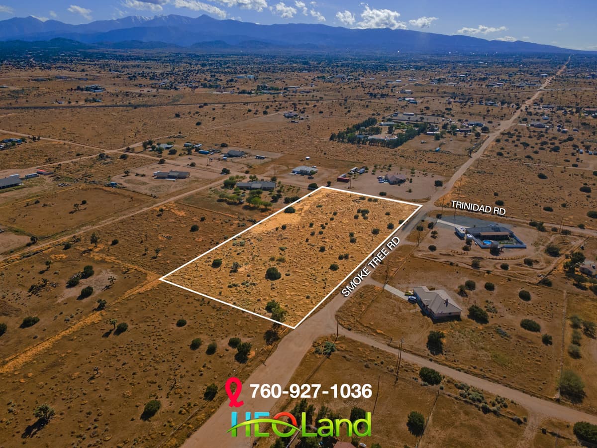
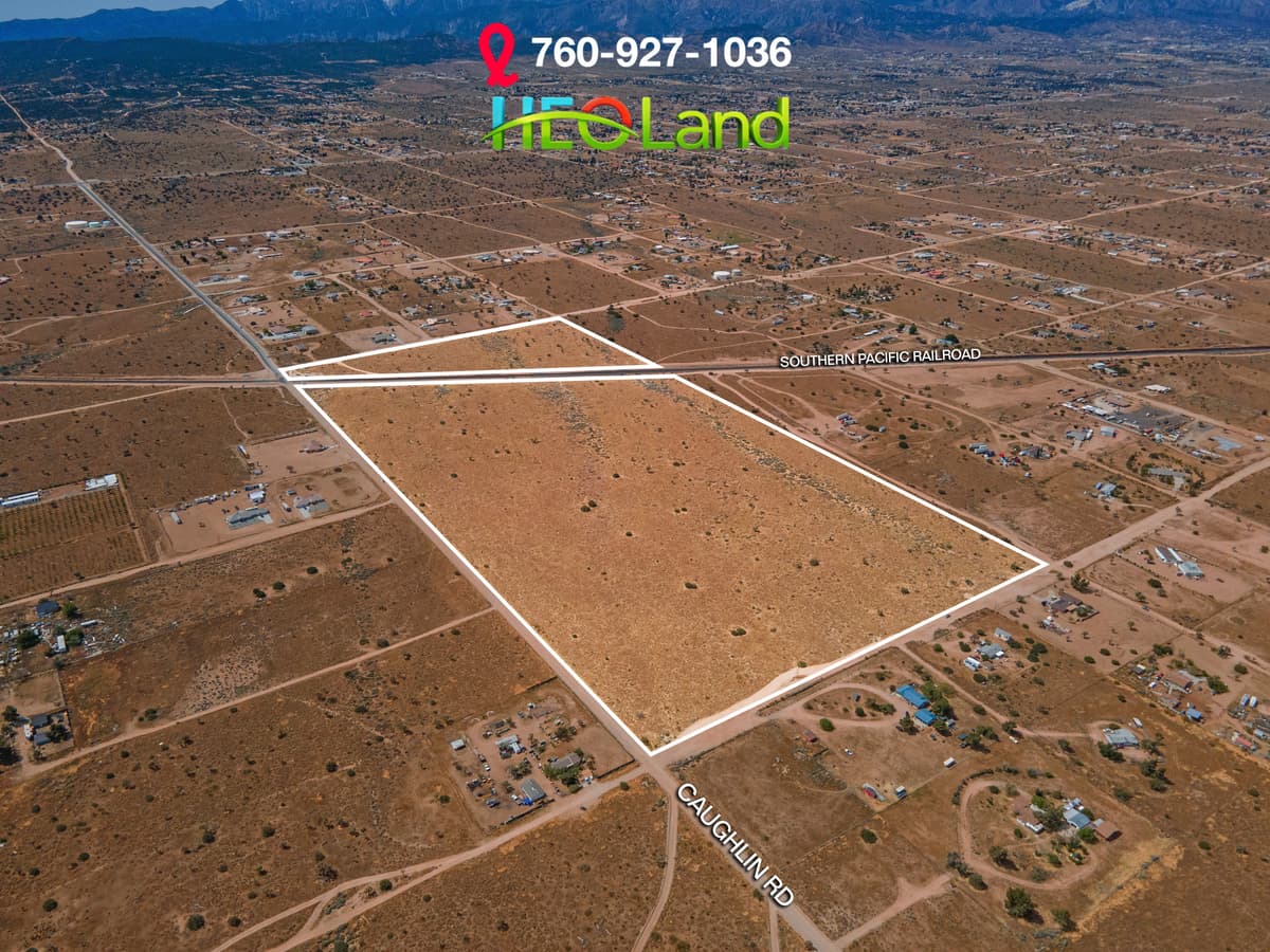
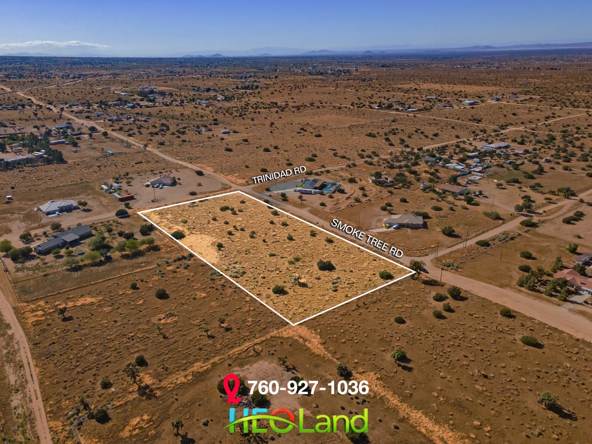
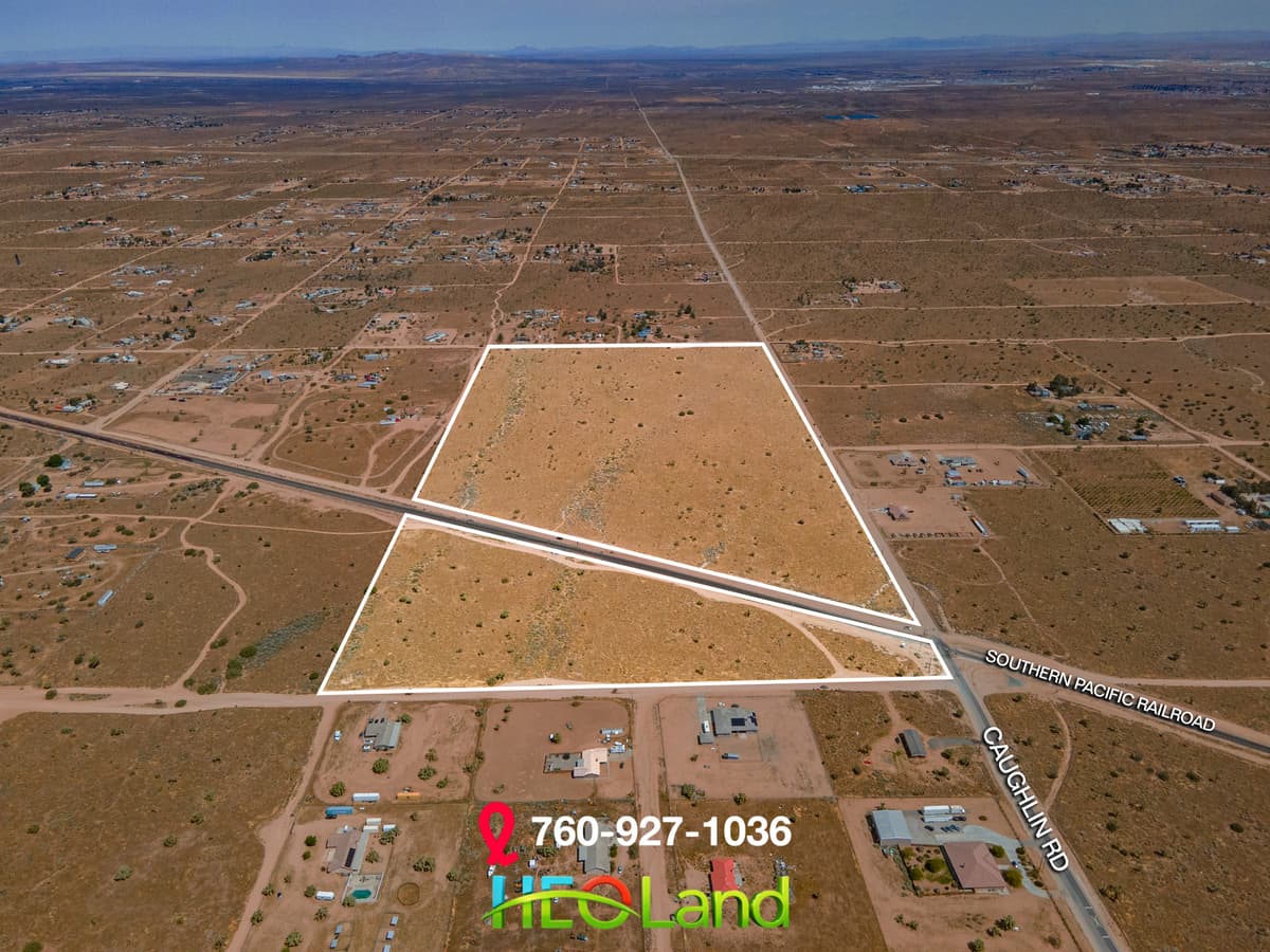
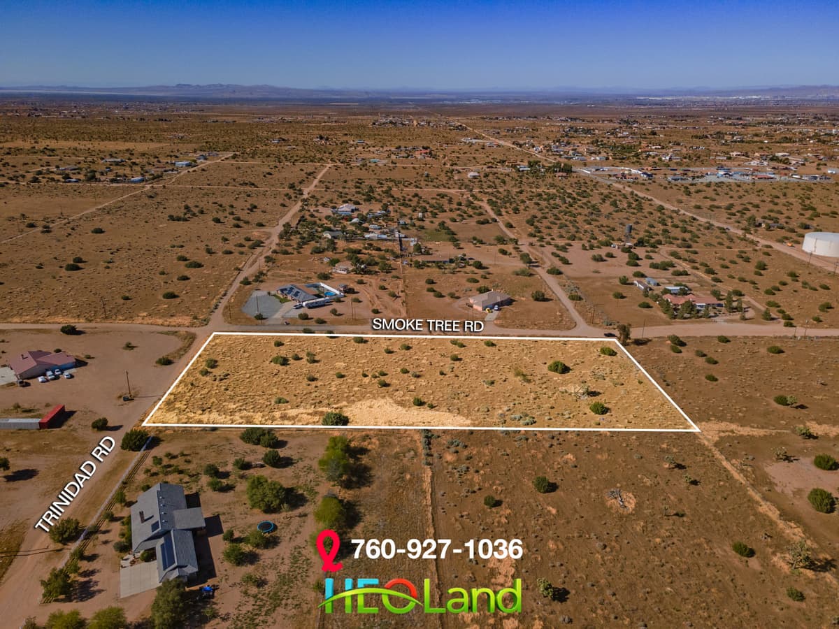
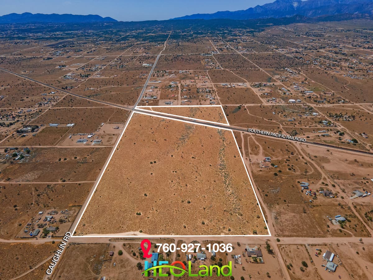
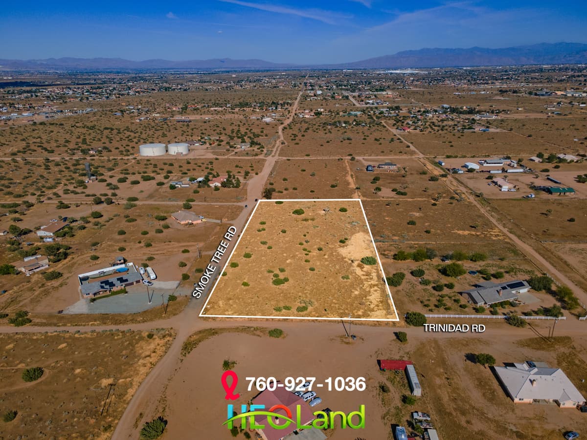
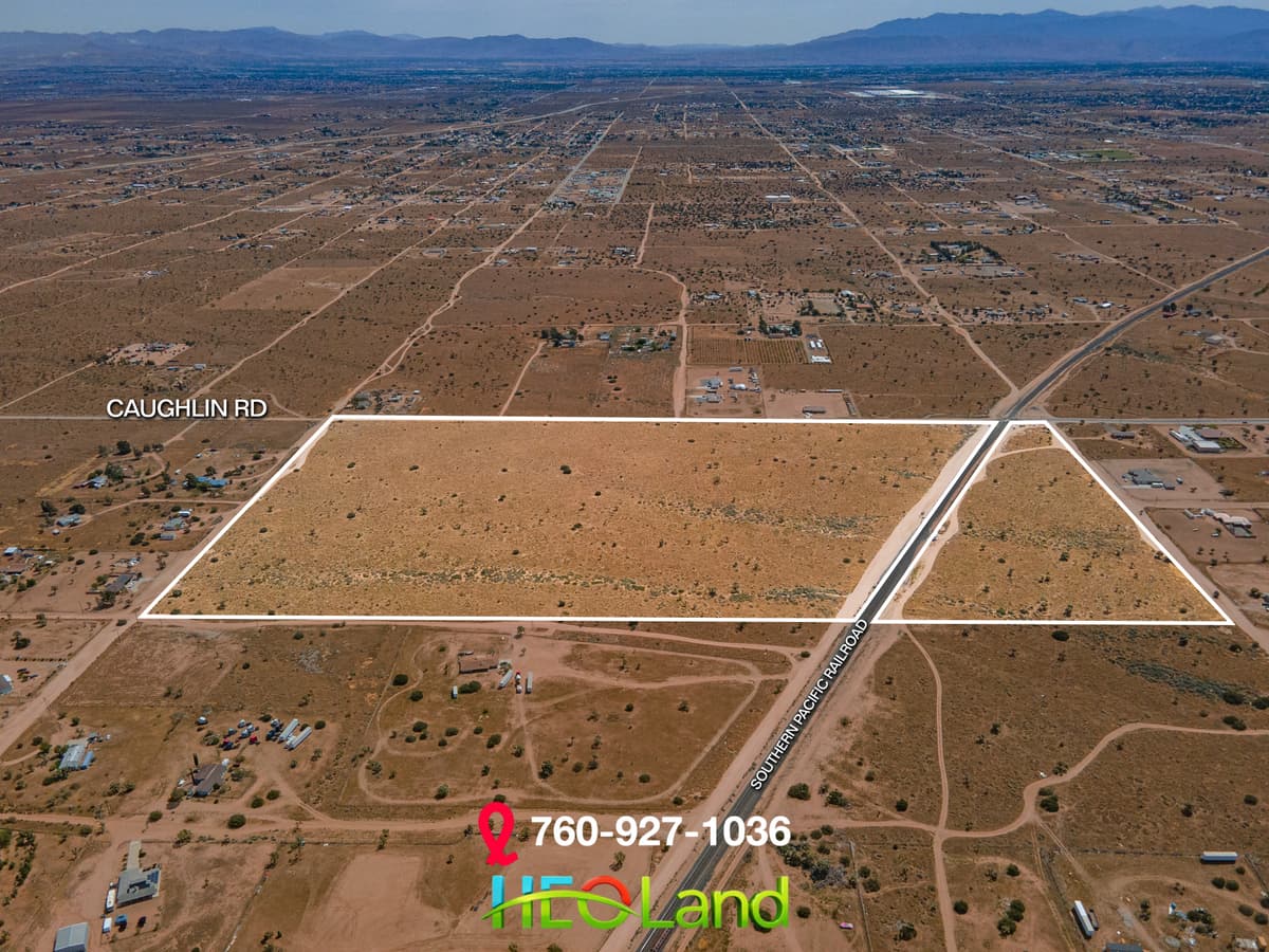
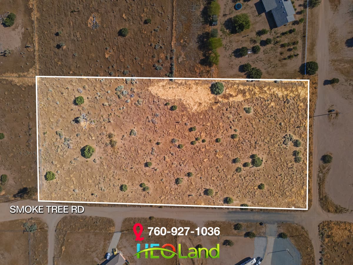
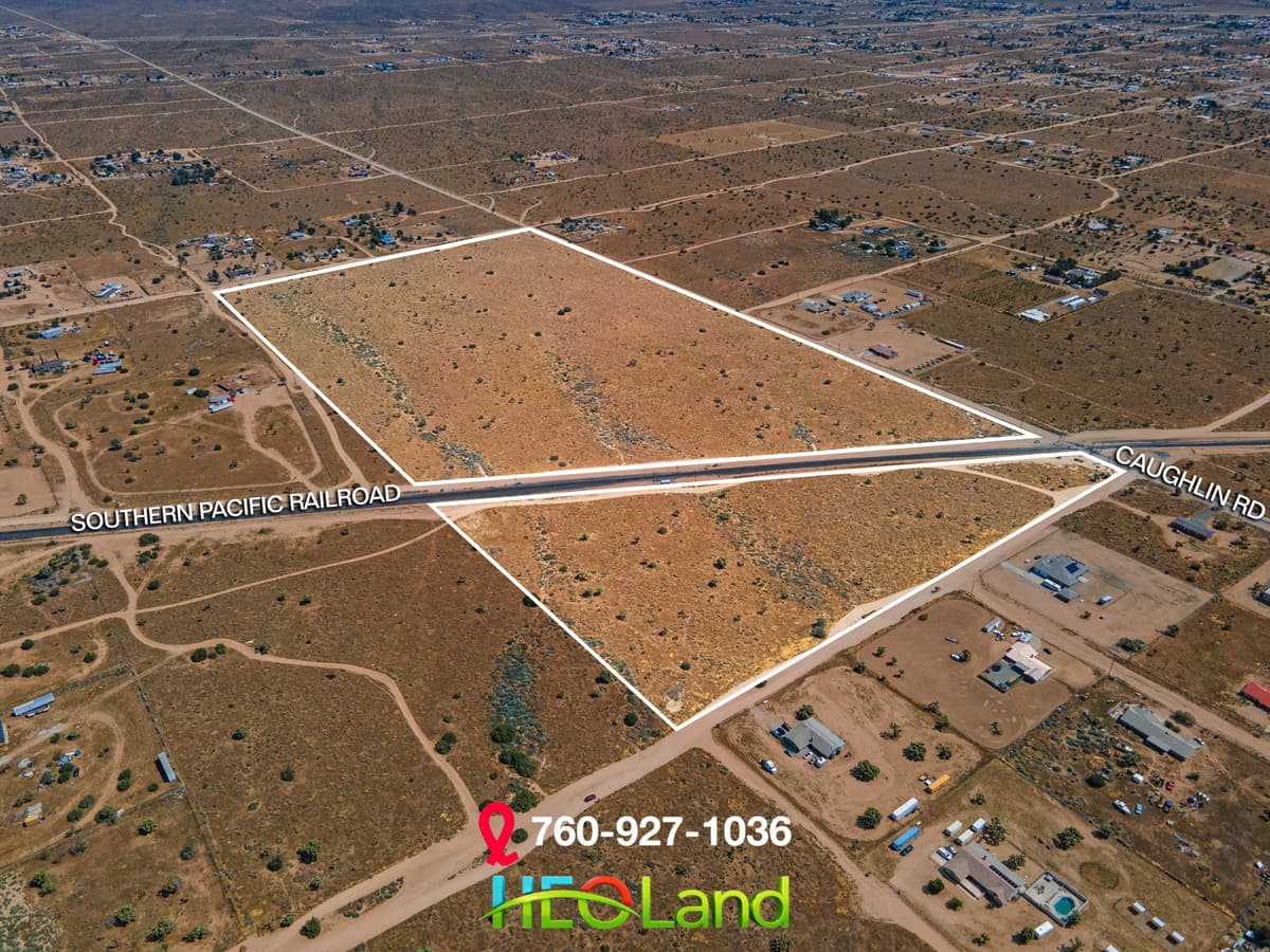
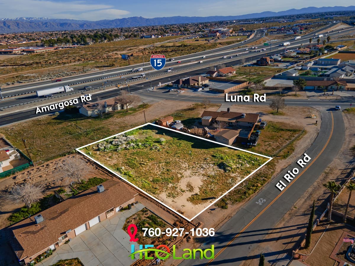
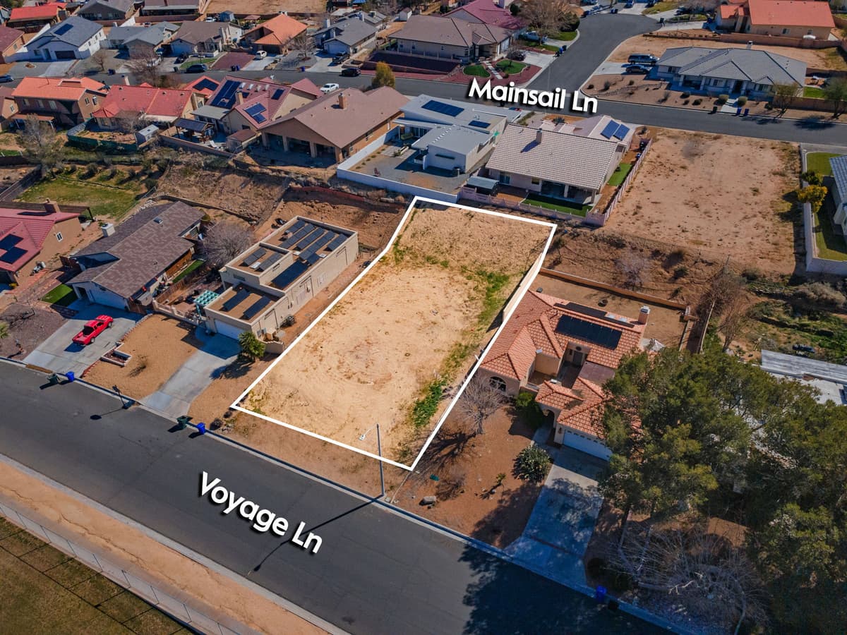
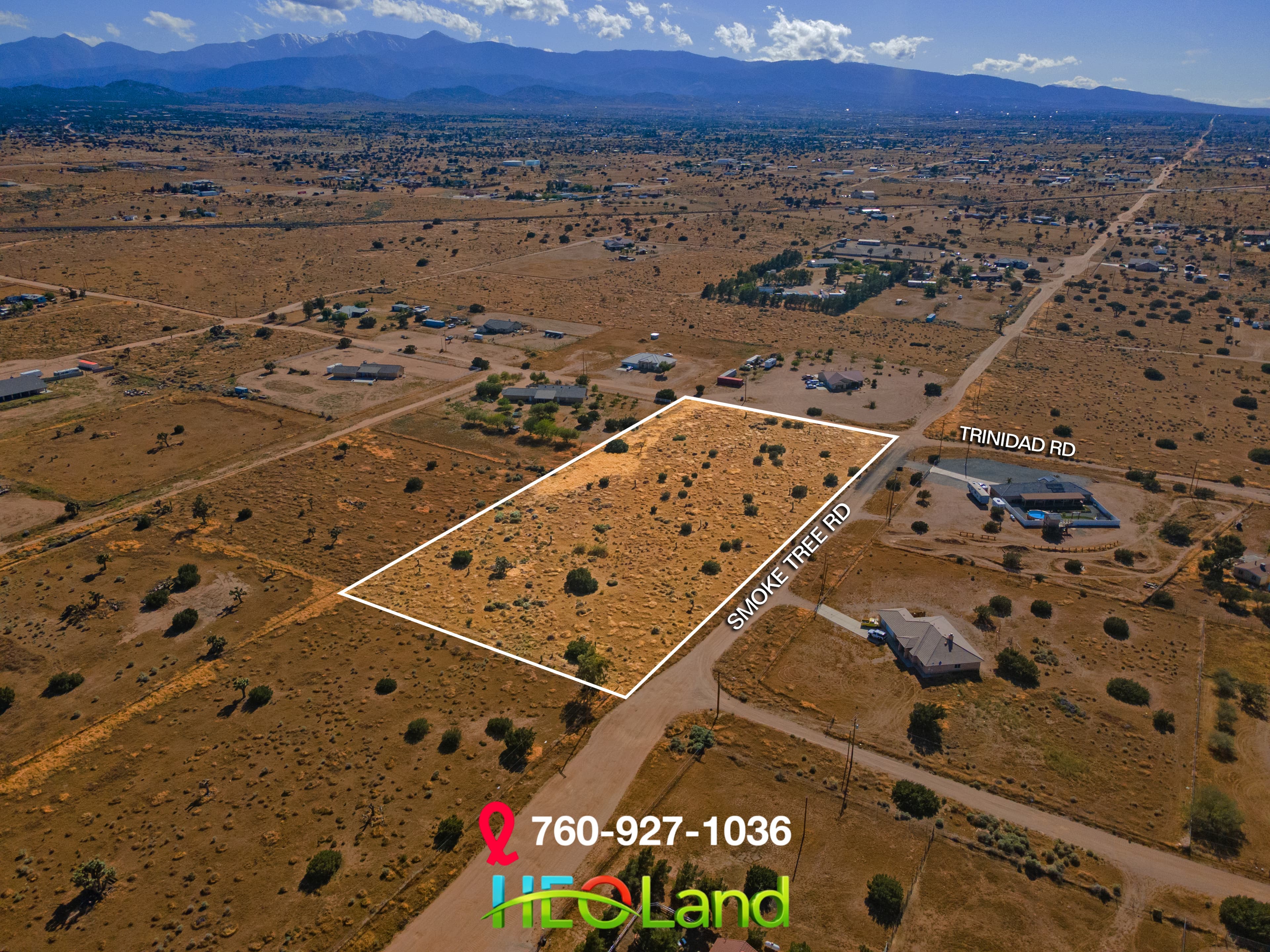
Land doesn't sell itself — but the right visuals do. Aerial photography, cinematic flyover video, traced property lines, and labeled access roads that give buyers the confidence to pull the trigger. FAA Part 107 certified.
68%
Faster Sales with Drone
Source: MLS / Inman
What's Included
Everything You Get
Gallery
See Our Work
Real results from real shoots across the High Desert.
The Numbers
Why This Service Matters
Data-backed reasons why this investment pays for itself.
68%
faster sales with aerial photography
Source: MLS / Inman
10%
price increase with aerial images
Source: PhotoUp
85%
of buyers expect aerial visuals
Source: NAR 2025
52%
of REALTORS now use drone photography
Source: NAR Technology Survey
Ready to Get Started?
Book your land photo & video session today and see the difference professional media makes.